Bing Maps Aerial Imagery
Global satellite imagery
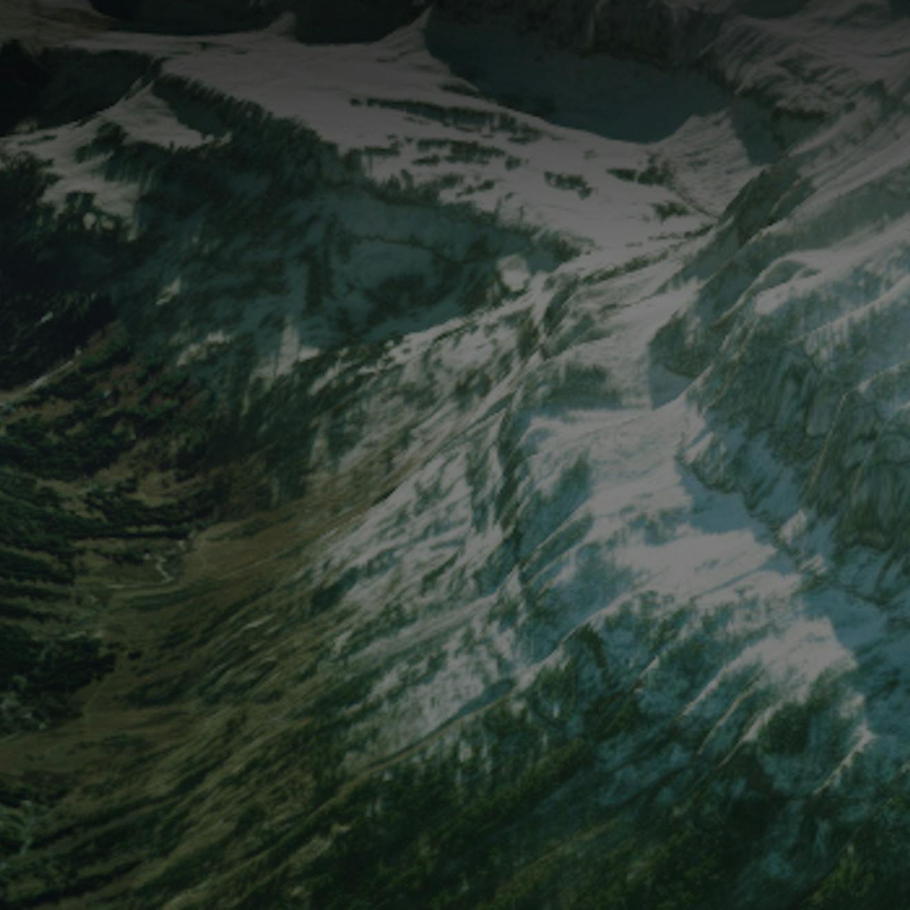
Global imagery down to 15 cm resolution in urban areas. World Imagery from Bing Maps is hosted by Cesium ion's modern cloud architecture for efficient streaming into CesiumJS and is the default imagery used in Cesium apps.
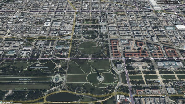
Washington, DC
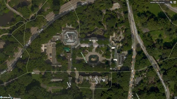
Central Park Zoo, New York City
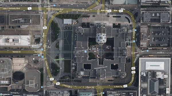
City Hall, Philadelphia
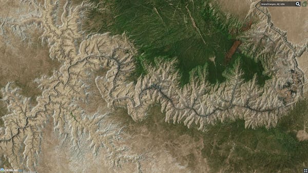
The Grand Canyon, Arizona
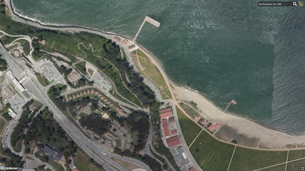
San Francisco, California
Specs
Coverage: Global
Extent:
- North: 85.05°
- East: 180°
- South: -85.05°
- West: -180°
Resolution: Down to 15 centimeters in urban areas, and down to 30 centimeters in the United States and most of western Europe. See Bing Maps "Understanding Scale and Resolution"
Options:
Available both with and without labels.
- Bing Maps Aerial
- Bing Maps Aerial with Labels
- Bing Maps Road
CesiumJS code example
Bing Maps Aerial
var viewer = new Cesium.Viewer("cesiumContainer", {
  imageryProvider: Cesium.createWorldImagery(),
});
Bing Maps Aerial with Labels
var viewer = new Cesium.Viewer("cesiumContainer", {
  imageryProvider: Cesium.createWorldImagery({
    style: Cesium.IonWorldImageryStyle.AERIAL_WITH_LABELS,
  }),
});
Bing Maps Road
var viewer = new Cesium.Viewer("cesiumContainer", {
  imageryProvider: Cesium.createWorldImagery({
    style: Cesium.IonWorldImageryStyle.ROAD,
  }),
});
Terms of use
For usage of Bing Maps data, see:
- The Bing Maps Platform website
- Cesium ion's Terms of Service
Attribution
CesiumJS automatically displays attribution. Do not remove or modify it. If using Bing Maps Imagery outside of CesiumJS, see Bing Maps terms of service for attribution requirements.
Looking for more 3D content?
We've curated global terrain, 3D buildings, and satellite imagery ready to use in custom applications.