
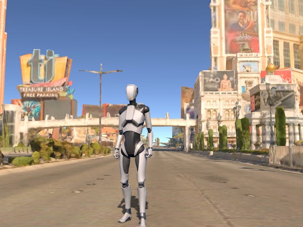
Las Vegas visualized in Cesium for Unity. Data courtesy of Aerometrex
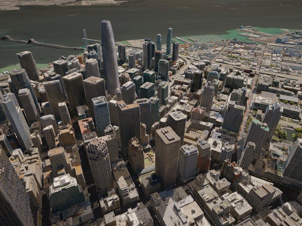
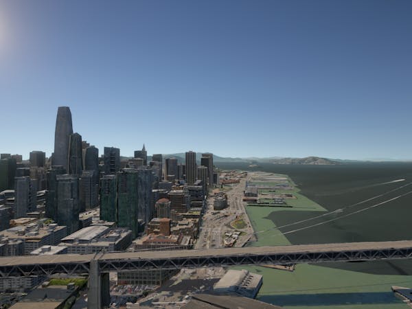
San Francisco, CA visualized in Cesium for Unity. Data courtesy of Aerometrex
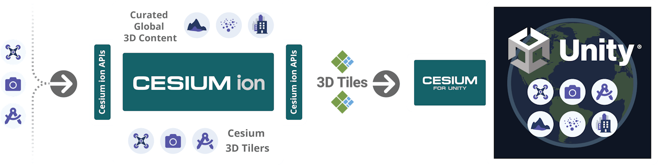
Add real-world context with 3D content and pipelines with Cesium ion
Instant access to global 3D content
Cesium for Unity is integrated with Cesium ion, allowing instant access to cloud-based global high-resolution 3D content including photogrammetry, terrain, imagery, and buildings.
Industry-leading 3D tiling pipelines
Transform your content into optimized spatially indexed 3D Tiles ready to be streamed to Unity using industry-leading content pipelines, available as part of your Cesium ion subscription or with Cesium ion Self-Hosted.
Online and in your own environment
Cesium for Unity supports cloud and private network content and services based on open standards and APIs. Users can deploy in their own environment for a scalable, customizable, end-to-end workflow.