
Add Sketchfab 3D Models to Your Geospatial Experiences with Cesium ion
Written by  Lisa Bos,
You can now import 3D models from Sketchfab into Cesium ion to create 3D Tiles, making it easier to create context and content for geospatial experiences.
In 3D Tiles, Cesium ion, Technical, Integrations, News, Open Standards
Cesium Supporting Maxar on One World Terrain
Written by Brady Moore,
In 3D Tiles, Cesium ion, CesiumJS, Open Standards, Federal & Defense
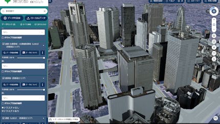
東京都デジタルツイン3Dビューアは Cesiumを活用し、「都民生活の質の向上」を守る
Written by Gen Kukita,
In 3D Tiles, User Stories, Cesium ion, Climate & Environment, Smart Cities, CesiumJS
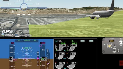
GE Aerospace’s FlightPulse Enables Pilots to Review Landings with CesiumJS
Written by Monica Wamsley,
In 3D Tiles, User Stories, Cesium ion, CesiumJS, Aerospace
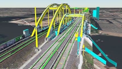
Deutsche Bahn Prepares for Fully Automated Trains with CesiumJS within Sector Initiative Digitale Schiene Deutschland
Written by Monica Wamsley,
In 3D Tiles, User Stories, CesiumJS, Transportation
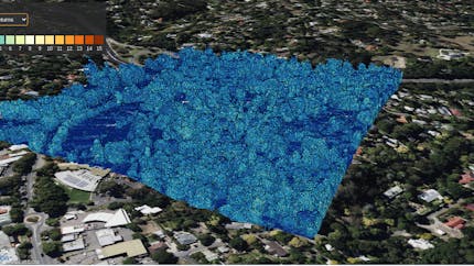
Preserving More Metadata for Point Clouds Using 3D Tiles
Written by Shehzan Mohammed,
In 3D Tiles, Cesium for Unreal, AEC, Cesium ion, Cesium for Unity, CesiumJS, Cesium for Omniverse
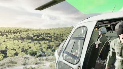
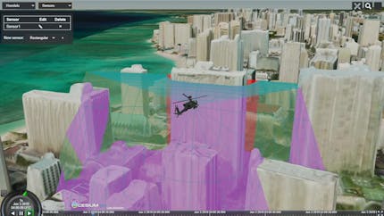
French Air Force Uses Cesium for Unreal for VR Helicopter Training
Written by Monica Wamsley,
In 3D Tiles, Cesium for Unreal, User Stories, Cesium ion, Federal & Defense