Fusing Historical and Contemporary Geopolitical Data with DIRMAIS
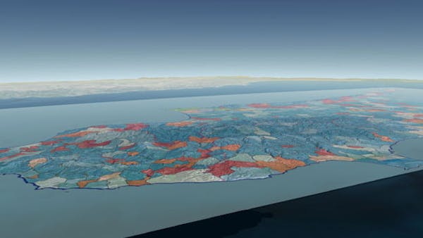
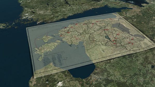
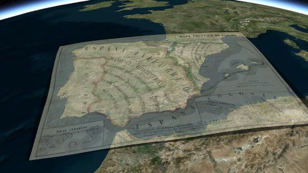
Digital Interactive Regional Mapping and Information System (DIRMAIS) fuses historical and contemporary geopolitical data with geography and cartography to provide a visual means of analyzing international crises. Designed for researchers, policy-makers, and on-the-ground professionals, DIRMAIS aggregates data from many sources and layers them over historical and modern maps, providing visual information on regions in distress and allowing users to simultaneously compare data from different times and sources.
DIRMAIS was developed by researchers at the Liechtenstein Institute on Self-Determination (LISD) in the Woodrow Wilson School at Princeton University. Its purpose is to help researchers answer such key questions as “Why do certain wars happen?” and “How does physical geography affect trade or conflict over long periods of time?”
The DIRMAIS program originally used Google Earth as the base layer. They’ve since migrated to Cesium, since it is able to display the DIRMAIS information that has been compiled; and has a sufficiently user-friendly front-end, an interface that will allow the user to easily add or subtract geospatial information such as maps, statistics, etc.