View Satellite Imagery of the Planets in Our Solar System with Planetary Surface GIS Experiment
Planetary scientists classifying and mapping planetary features rely on imagery data. The availability of this imagery data is rapidly increasing, but accessing the data remains challenging, as researchers often have to download massive datasets for local analysis and are still left with the challenge of sharing their results.
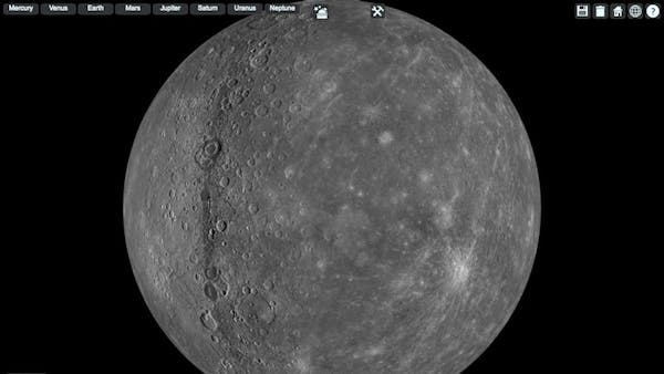
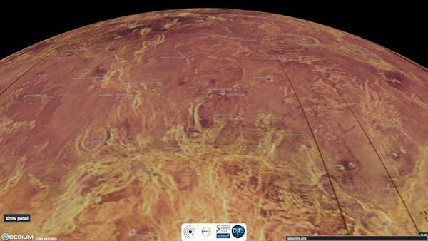
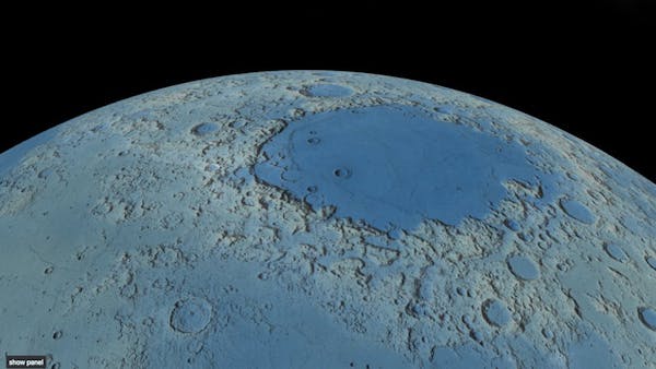
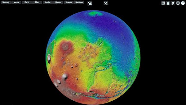
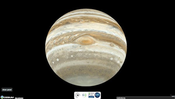
The Planetary Surface GIS experiment, built on CesiumJS, is a tool for online efficient and generic planetary surface analysis. The viewer has been partly funded by the Europlanet project and currently includes layers of imagery distributed by the USGS Astrogeology Science Center from all of the planets in our solar system, as well as a number of moons. Planetary shapes are defined following IAU recommendations, and specific ellipsoid instances have been implemented into Cesium.
The project is open source: check out the source code on GitHub.