Cesium Mission Support Demos
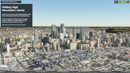
🌎 Exyn High-Resolution Insets
Combine high-resolution insets with global context and analytical tools in CesiumJS. Use analytical tools like line-of-sight and uncertainty picking, and place and adjust sensors. Point cloud data of Philadelphia from Exyn and photogrammetry data from Maxar, Nearmap, and Bentley.
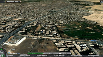
🌎 4D for Operations
4D visualization in CesiumJS for operations use cases such as analysis, planning, COP, and rehearsal featuring 3D Tiles Next and One World Terrain Well-Formed Format. Data from MAXAR and Open Sensor Hub.
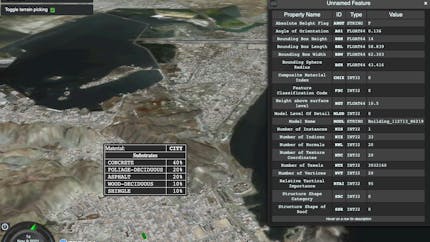
🌎 3D Tiles 1.1: Visualize Feature Metadata
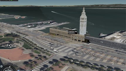
🌎 3D Tiles 1.1: Photogrammetry Classification

🌎 3D Tiles 1.1: S2 Base Globe
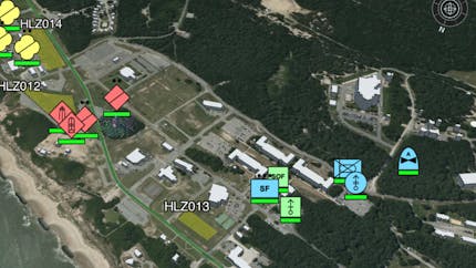
🌎 Common Operating Picture
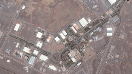
🌎 Tunneling at Natanz (Maxar SitRep Cesium Story)
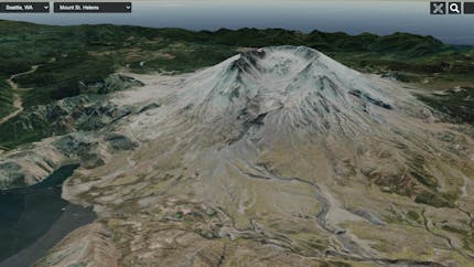
🌎 Maxar 3D Surface Mesh
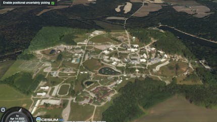
🌎 3D Tiles 1.1: Positional Uncertainty Picking
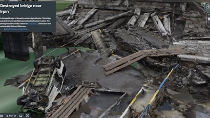
🌎 Cesium Stories: The War in Ukraine
3D interactive presentation created with Cesium Stories by Professor Hidenori Watanave, of the University of Tokyo, and Professor Taichi Furuhashi, of Aoyama Gakuin University.
Videos
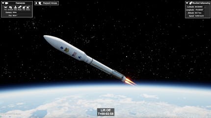
🎥 Cape Canaveral Digital Twin (Unreal Engine)
Cesium is partnering with NVIDIA Omniverse and the U.S. Space Force to build an accurate visualization of Cape Canaveral in Unreal Engine based in open standards that’s designed to unify operations across private entities like SpaceX and Blue Origin and government organizations like Space Force, NASA, and the U.S. Air Force.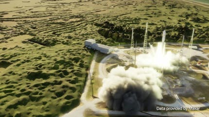
🎥 Cape Canaveral Digital Twin
Cesium is partnering with NVIDIA Omniverse and the U.S. Space Force to build an accurate visualization of Cape Canaveral based in open standards that’s designed to unify operations across private entities like SpaceX and Blue Origin and government organizations like Space Force, NASA, and the U.S. Air Force.

🎥 Project Anywhere
(Cesium for Unreal)
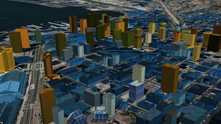
🎥 San Diego Analytics
(CDB to 3D Tiles)
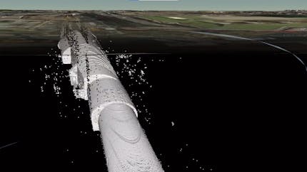
🎥 Interiors and Dense Urban Terrain
(w/ LIDAR data from Kaarta)
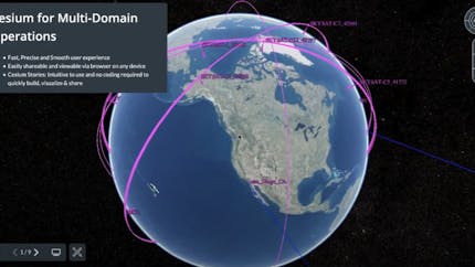
🎥 Cesium for Multi-Domain Operations
(w/ AGI's STK & Maxar 3D Surface Mesh)
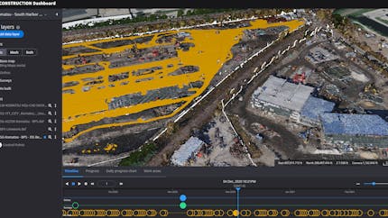
🎥 Cesium for Operations
(Smart Construction with Komatsu)
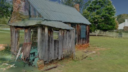
🎥 Cesium for Point Clouds
(with Point Clouds from Trimble)
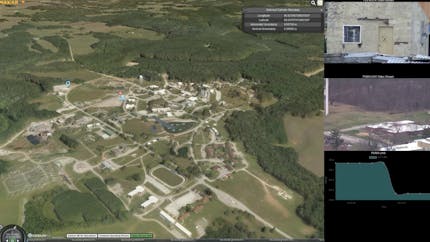
🎥 CesiumJS - Open Sensor Hub
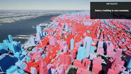
🎥 3D Tiles 1.1 in Cesium for Unreal
Additional Resources


Brady Moore
Mission Support
Brady served as an infantry and Special Forces officer in the US Army, working in Afghanistan, Iraq, Africa, and Pakistan until 2011, and has been working in mission command and ops/intel fusion technology ever since. He is an alumnus of The Citadel and Penn State’s Smeal College of Business.