Cesium Announces New Cohort of Ecosystem Grant Recipients
Cesium is excited to announce a new cohort of Cesium Ecosystem grantees. These recipients impressed us with their commitment to strengthening the 3D geospatial ecosystem by strengthening integrations between tools and lowering the barrier to entry for users.
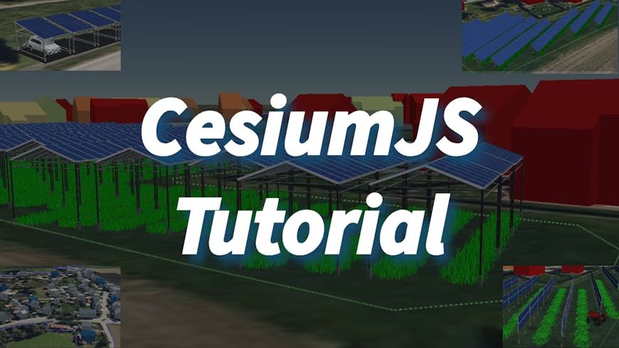
CesiumJS Tutorials: Building an Inclusive 3D Geospatial Learning Platform
Mohammad Hosseingholizadeh, GISWorld
GISWorld, a tech startup, has introduced GISWorld Academy on YouTube, intending to make geospatial knowledge accessible to all. The academy's primary objective is to equip individuals with skills in various open source geospatial tools. This project will introduce a series of 10 tutorials on using CesiumJS and harnessing it in the open 3D geospatial ecosystem. Tutorials will showcase CesiumJS capabilities and how to use it with other geospatial tools and software, such as QGIS, Blender, and geospatial databases, thereby highlighting its full potential in 3D visualization. Mohammad is also a Cesium Certified Developer.
3D Tiles in Three.js
Garrett Johnson
3DTilesRendererJS is an open source library originally developed by NASA/Caltech-Jet Propulsion Laboratory (JPL) that enables efficient rendering and interaction of 3D Tiles in Three.js. This grant project will add expanded support in 3DTilesRendererJS for the 3D Tiles specification - specifically new metadata expansions - as well as features for enabling data overlays useful for understanding 3D Tiles Mars terrain data from NASA JPL.

WebODM Reintegration
Osarodion Victory Igbinobaro, AERO AI
AERO AI created the Simulated Environment for Geospatial Assets (SiEGA) platform, which integrates a diverse array of 3D technologies within a sophisticated physics engine. Their Cesium Ecosystem Grant supports the WebODM Reintegration Project, supporting the WebODM Cesium plugin. The plugin will allow the seamless integration of georeferenced maps and models generated in Open Drone Map (ODM), a free and open source drone imagery processing platform, with Cesium ion. This will enable users from AEC, environmental conservation, geospatial analysis, and beyond to benefit from the ability to integrate, process, analyze, and visualize aerial data and 3D geospatial information. AERO AI is also a Cesium Certified Developer.
We’ll share the progress of these projects in the coming months. Visit the Grant Directory to learn more about the recipients. If you are inspired to submit an application, visit Cesium Ecosystem Grants to learn more and apply. The application window closes May 31.