IAEA Tracking Radioactivity in Seawater in Cesium
Today the International Atomic Energy Agency (IAEA) is launching a major update to their marine radioactivity portal—now built on Cesium—to give researchers better access to radiation data on man-made and naturally occurring radionuclides in the world’s oceans.
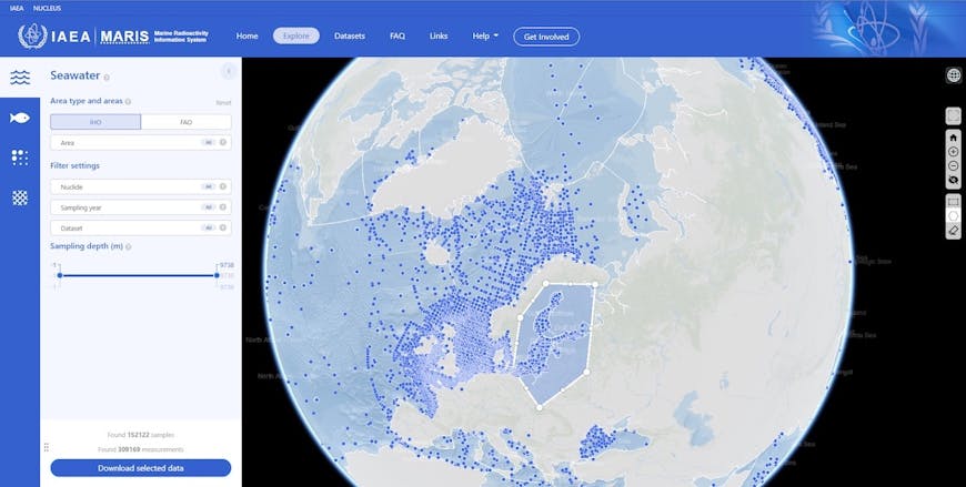
Scientists around the world, from any of the IAEA’s 172 member states, can use the IAEA’s Marine Radioactivity Information System (MARIS), which provides access to a comprehensive library of samples taken over the last 60 years and covering more than 100 different radionuclides found in the ocean.
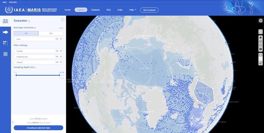
Researchers are able to find relevant data using an interactive 3D globe built with Cesium. Scientists can filter by various parameters such as type of radionuclide, depth, or sampling date; can draw a polygon on the globe to cover the area they’re interested in; and can download results for that geographical area.
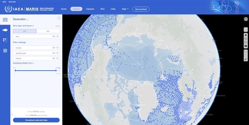
Previous versions of MARIS used 2D maps that could not support all the capabilities the IAEA was looking for. Because these maps used Web Mercator projection, they show significant distortion at high latitudes, which created a serious problem for studying polar regions.
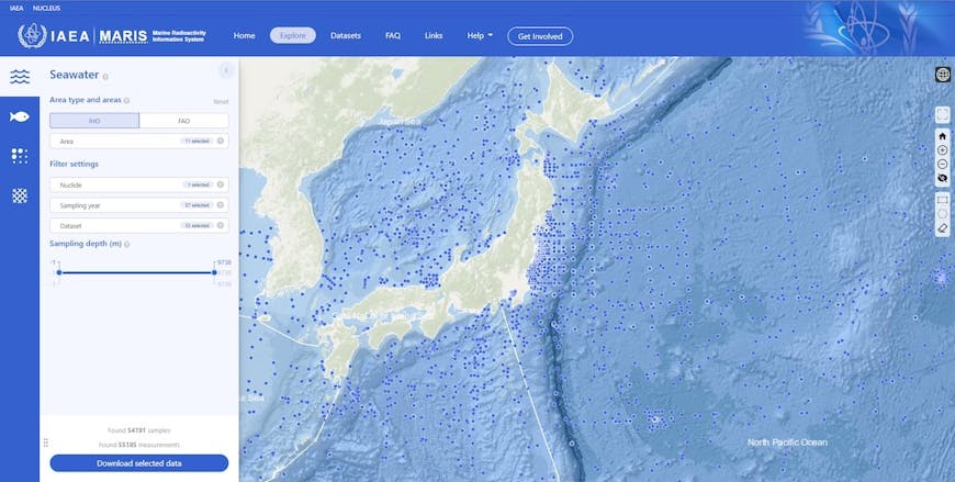
The new Cesium application offers better navigation and search functions, making it easier for researchers to get the data they need. Many scientists using MARIS are looking for baseline data for a given area. By evaluating the naturally occurring radionuclides, and those released from industrial facilities, they can better assess trends in local areas, evaluate proposed industrial projects, validate marine models used for simulation, and understand the impact of both natural processes and human activity on the world’s oceans.
Sign up for a Cesium ion account to bring your own marine data onto a Cesium globe.