More 3D Datasets for Federal Government Users Working From Home During COVID-19
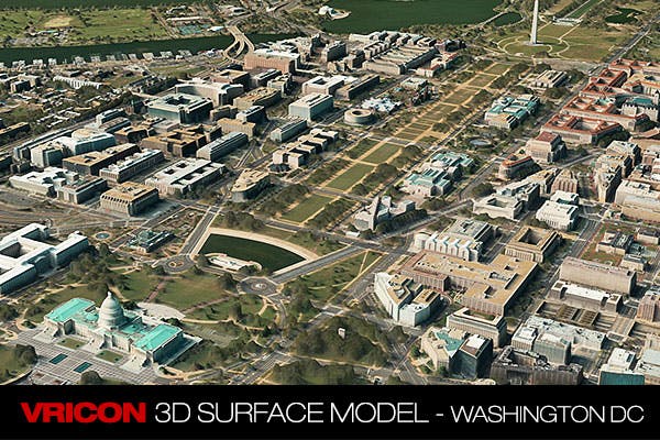
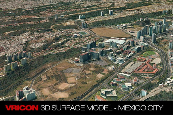
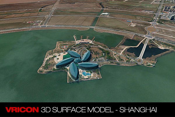
During the COVID-19 pandemic, many of us can’t access the tools we need for work because they exist on closed networks at our workplaces. Because of this, we’ve teamed up with Vricon and Esri to give all federal government workers access to 28 high resolution 3D surface models from cities like Shanghai, Mexico City, and Washington D.C.
Thanks to 3D Tiles, users can access these models from anywhere and share them on any device. We hope this will empower government employees working from home and that they’ll enjoy exploring the world virtually during this challenging time.
The Vricon surface models are part of the world’s largest archive of satellite data and a geo-specific 3D representation of the globe. These 3D TIN models of the surface of earth have true photorealistic texture on all sides of buildings and terrain features, and provide absolute accuracy of 3m SE90 and 50cm resolution.
If you’d like access to these resources and have a valid .gov or .mil email address, click here.
For a step-by-step on how to use this 3D data while working from home, join Cesium and Vricon for a webinar Thursday, May 21, 2020 from 3:00-4:00 PM EDT
Not in the government but want access to these datasets? Contact Vricon or drop me a line to learn more about how Cesium supports the federal government. I’d love to hear from you.