Cesium Release Roundup April 2020
Like all of you, we’ve found our lives upended by the coronavirus crisis. We feel fortunate that we’ve been able to keep working on Cesium, as we understand how important the applications you build with it are. We hope the latest Cesium release will support you in your work, and above all we hope that you stay safe.
Cesium ion updates
This month we brought major new features into Cesium Stories, including support for time-dynamic data and feature picking. We’ve also optimized for mobile, making it possible to expand the infobox or collapse to switch to a full view of the 3D scene.
These additions give more people access to the capabilities of CesiumJS, with no need to code. Now anyone can easily share a drone flight or create interactive scenes with access to extensive metadata.
With Cesium Stories, available to all levels of Cesium ion accounts, you can create presentations for any modern web browser. Our newest updates allow authors to show time dynamic data and allow users to select features to reveal metadata and expand of collapse the infobox on mobile.
Tell us about your experience with Cesium Stories! Let us know on Twitter or send us a note.
CesiumJS 1.68 release
CesiumJS 1.68 is now available. Highlights of this release include:
- Basic underground rendering support. When the camera is underground the globe will be rendered as a solid surface and underground entities will not be culled.
- Support for Node.JS 12 and later. CesiumJS can still be used in earlier versions as well.
- Support for live-editing of shaders using SpectorJS.
For the full list of changes to CesiumJS, see the change log.
Overview for 3D Tiles
There’s now a 3D Tiles Overview. This concise, approachable guide should be a handy reference for implementing 3D Tiles in your runtime engine.
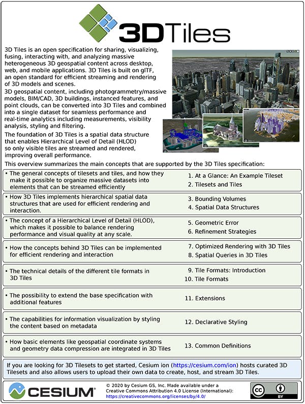
The cover page of the3D Tiles Overview.
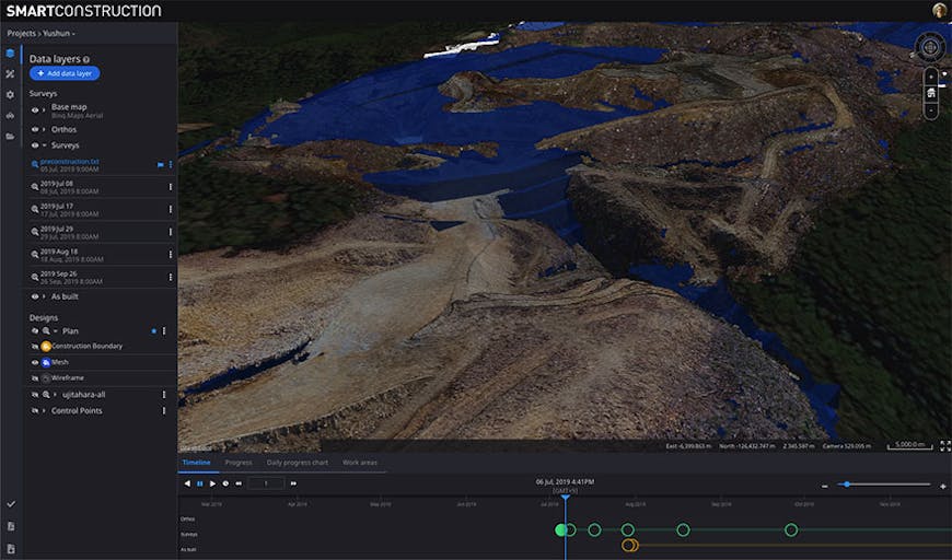
The Smart Construction application makes it easy to compare plans with reality. Here a preconstruction survey of the terrain, collected by drone, is compared to a “TIN,” or triangle mesh (in blue), representing how the terrain will look when construction is completed.
As Patrick Cozzi describes, Cesium’s platform and application makes it possible to visualize data from intelligent machines, drone surveys, and site surveys to create a digital twin of the site, accessible from anywhere in the world.
Gabby Getz’s blog post describes how the app combines frequently updated, diverse—and even partial—datasets to give construction site managers a clear picture of progress toward the target design.
Check out the video to see the app in action. And expect more details in the coming months about how it all works.