Open Source and Cesium Featured in the Latest Trajectory Magazine
OneSky’s Unmanned Traffic Management system, which is built on CesiumJS, is the featured image for Trajectory magazine’s cover story.
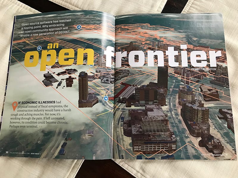
The latest issue of Trajectory magazine makes the case that open source and open standards will drive the future of GEOINT in its cover story “An Open Frontier” by Matt Alderton—and prominently features Cesium as part of this movement.
We couldn’t agree more with this assessment. With the ever-growing supply of location data available, the scale of data is huge—and change is happening quickly. Here’s Patrick quoted in the article on why open source has been key to driving innovation in the GEOINT space:
“The barrier to entry … is very low, so you can get lots of grassroots adoption by integrators and engineers to try things out and prototype, which lets you move very quickly,” explained Cesium creator Patrick Cozzi.
As all industries—from GEOINT to autonomous cars—face the challenge of managing increasingly complex data, using open source tools means that the intelligence community can benefit from geospatial tools being developed in other industries. Patrick:
“Once you make something open-source, anyone can pick it up. Cesium, for example, is used by NGA’s Map of the World web client in the GEOINT world, but it’s also used by Mozilla for mixed reality, by the Toyota Research Institute for autonomous driving simulation, and by Bentley Systems for CAD/BIM fusion with geospatial data. The list goes on and on, and each of those different types of users brings use cases and perspectives into that core platform to improve it.”
The article provides a brief history of open source software in general and in the GEOINT community in particular, naming significant tools in open geo like GDAL, GeoServer, PostGIS, PostgreSQL, QGIS, and Cesium (!). It also includes great insights from our friends at Boundless, the National Geospatial-Intelligence Agency (NGA), and Esri.
Read the article, share it, and continue the conversation.
Trajectory magazine, the official publication of the United States Geospatial Intelligence Foundation (USGIF), offers news and analysis for those invested in geospatial intelligence (GEOINT), including the intelligence, defense, aerospace, and homeland security communities.