Cesium Featured by Microsoft Bing Maps
Cesium has been featured on the Bing Maps blog. By bringing Bing Maps into 3D, we continue to push the boundaries of mapping. As Patrick Cozzi has said: “The Cesium team has a long history of collaborating with Microsoft, from Bing Maps to NORAD Tracks Santa to co-creating the open standard glTF 3D format as part of Khronos.”
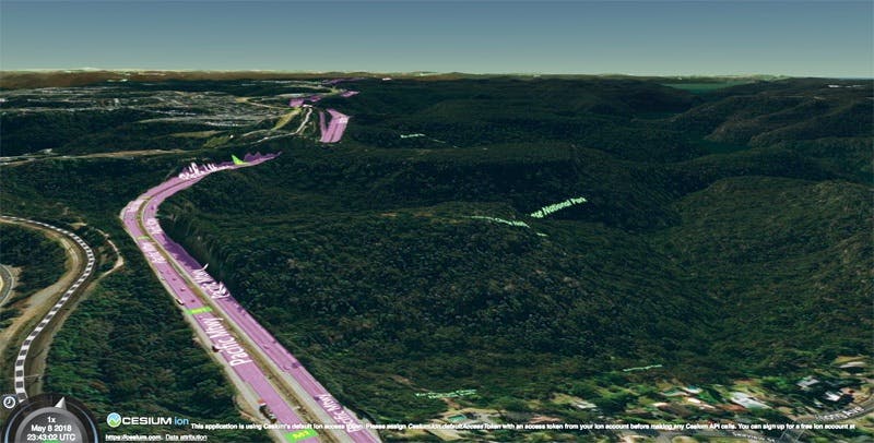
Australia’s Pacific Highway. Bing Maps imagery with Cesium World Terrain in Cesium ion.
Bing Maps is our default imagery service because it supports our efforts to provide high-resolution global imagery for a global Cesium community working at every scale, from global to building interiors. With Bing Maps, Cesium can reliably support heavy demands, both on the individual scale of viewers requesting many tiles as they navigate the entire globe in 3D, and also from high numbers of viewers simultaneously accessing applications—which we test every Christmas with the 20 million viewers who access NORAD Tracks Santa.
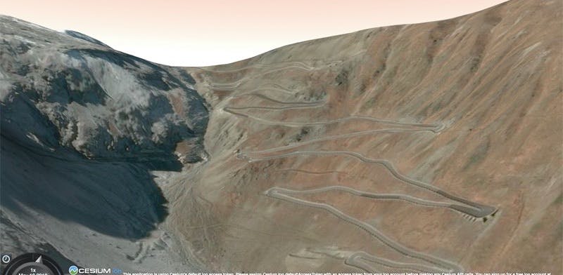
Stelvio Pass in Italy. Bing Maps imagery with Cesium World Terrain in Cesium ion.
Share with us on Twitter @CesiumJS what you’ve built with Cesium.