3D Digital Territory Lab: A Digital Clone of Métropole de Lyon
Pascal Poulain has built a 3D digital clone of Métropole de Lyon. This lab platform provides a sample of 3D use cases and is meant to immerse potential users in 3D, gather needs, and validate concepts.
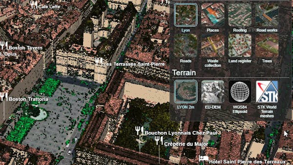
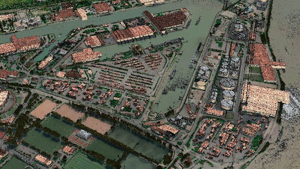
He chose Métropole de Lyon because Lyon is one of the major cities in France which has decided to make available a large amount of metropolitan data, including
- DEM data,
- orthoimagery,
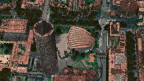
- LIDAR points,
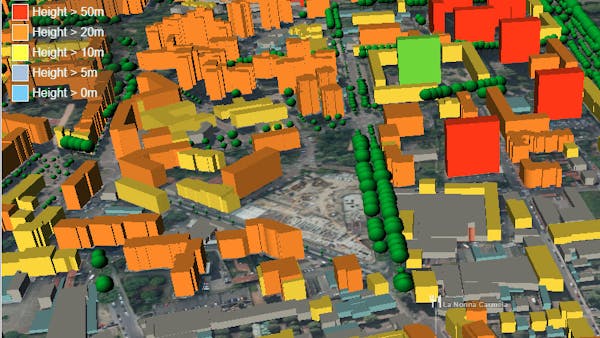
- buildings,
- trees,
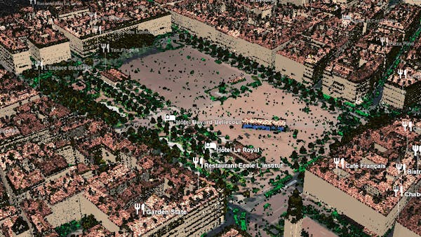
- points of interest, and
- WMS services.
For further information on the Métropole de Lyon data access, see Open Data GrandLyon.
The platform uses 3D Tiles because they satisfy requirements related to semantic, classification, and styles issues. Pascal developed several internal converters to generate the required 3D Tiles from the selected dataset.
In all, the platform contains almost 2 billion LIDAR points, 500K building parts, and 100K tree instances that are now part of the digital clone to cover a territory of about 1500 km2. Other data sources, such as OpenStreetMap, CityGML, IFC, and photogrammetry, could be progressively integrated when required by some use cases.
This platform is currently used internally for use case identification, test of functionalities, and data assessment for other potential 3D digital locations.
Check out Pascal’s YouTube channel, or follow him on Twitter.