Visualize and Analyze 3D Data with SuperMap iEarth
SuperMap iEarth was developed by SuperMap, a GIS company focused on online hosting and application of GIS data.
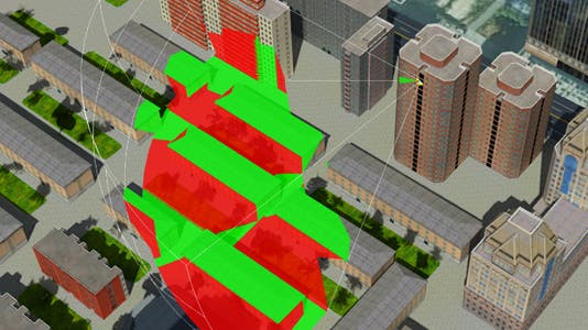
SuperMap iEarth, which is built on Cesium, allows users to upload and visualize a variety of 3D data types, including BIM, point clouds, 3ds max models, and oblique photographic models. Users can take advantage of the application’s measurement tools, including measuring length, area, and height. The application also offers analysis, such as viewshed, line of sight, and skyline.