View Online Geographic Information of the Canary Islands with IDECanarias
IDECanarias 3D viewer is an online web application, developed by Cartográfica de Canarias, S.A. (GRAFCAN), that uses Cesium to visualize standard WMS services from the Canary Islands SDI (Spatial Data Infrastructure).
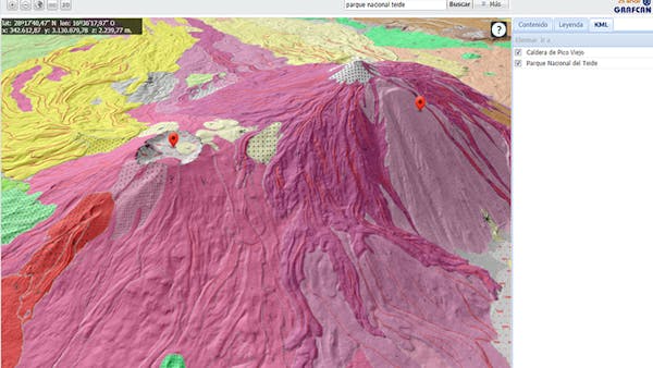
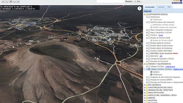
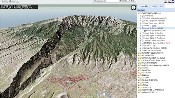
The information shown is diverse, from basic maps (such as orthophotos and topographic maps) to thematic layers related to tourism, territory management, protected areas, energy, industry, health and education, culture, risks, and much more.
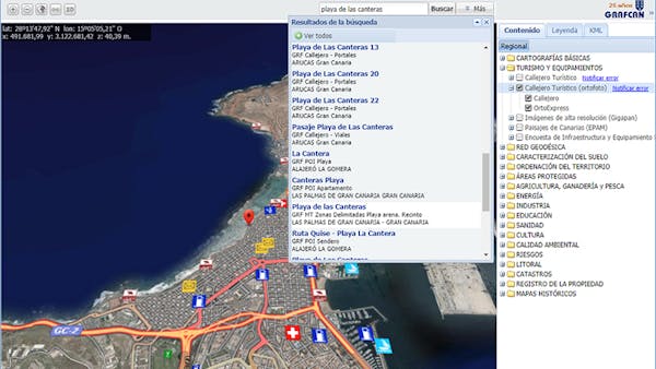
The viewer allows users to search data and to request information about a picked point in the map. The data are provided by WMS servers.
The application was migrated from the Google Earth API (deprecated now) to Cesium with good results in performance and compatibility.