View Forecast and Real-Time Weather Data with AllisonHouse Maps
AllisonHouse Maps is a web-based, interactive weather data viewer built on Cesium. Created by AllisonHouse, a digitally focused weather data provider, Maps allows users on any modern, web-based device to quickly consume pertinent weather information, share it with others, and make informed decisions about preparing for inclement weather.
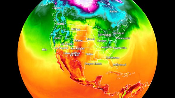
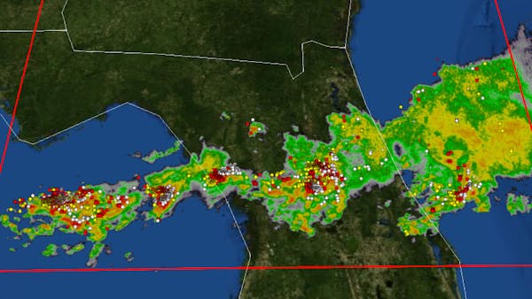
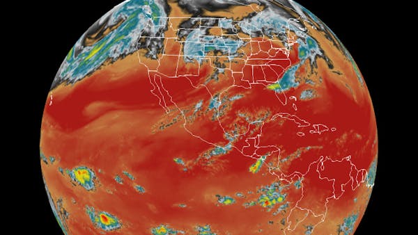
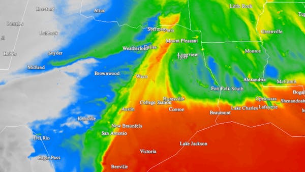
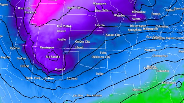
Forecast models provide operational and broadcast meteorologists with all of the information that they need to create a forecast for a particular area. Real-time weather data, such as the latest GOES-16 (Geostationary Operational Environmental Satellite) visible, infrared, and water vapor imagery, MRMS (Multi-radar Multi-sensor) radar mosaics, and ENTLN (Earth Networks Total Lightning Network) lightning data, allows users of varying backgrounds to monitor the weather for the potential impact to them.
Previously built and maintained using Leaflet, Maps’ migration to a true 3D globe viewer has greatly expanded the application’s feature set. Before, Maps had struggled to render the thousands of AWOS/ASOS meteorological stations’ data without bogging down the user’s browser. Now with Cesium, Maps is able to overlay this data alongside other datasets for a true comparison of how the forecast models are verifying against the current conditions. Furthermore, thanks to Cesium’s use of WebGL and the GPU, Maps is able to apply custom, user-defined color palettes to all of its tile-based datasets through custom code that is being contributed back to the Cesium codebase.