Canadian Landforms: Crowdsourced Classifications of Landforms in Canada
Canada requires updated maps of landforms to create improved national maps of soils, ecosystems, and other environmental conditions. But because Canada is a very large and sparsely populated country, producing detailed maps of soils or other ecological entities for the entire country is challenging.
Conventionally, manual mapping of soils (and many other ecological classifications) has always been based on identifying landform entities that can be described and recognized in the field as discrete and identifiable physical objects. A collective of soil scientists and digital soil mappers, volunteering under the auspices of the Canadian Digital Soil Data Consortium (CDSDC), recently produced a number of automated classifications of landforms for all of Canada at 1:500,000 scale (using a 250 m DEM).
As part of this effort, ISRIC - World Soil Information developed Canadian Landforms to facilitate map visualization and evaluation. Canadian Landforms crowdsources distribution, review, and evaluation of automatically classified landforms. Users review and evaluate various new landform classifications that they can view online, in both 2D and 3D, and against backdrop images of other reference maps. Users identify errors that need changing, can correct classifications at specific locations, and can give feedback on which classifications are most useful for their needs and why. Canadian Landforms supports map visualization, data analysis, user feedback, and user input, and continues to be enhanced.
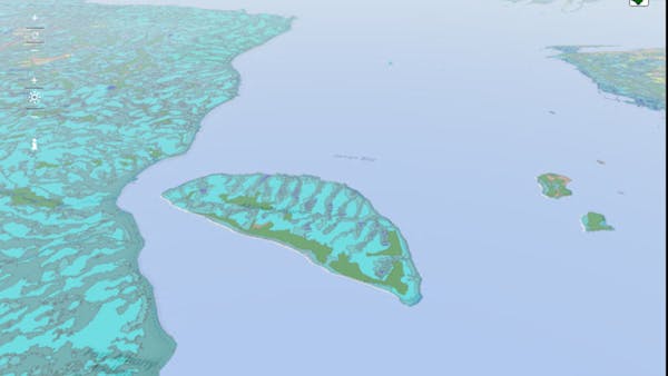
The figure below illustrates one of the new maps delineating landscape entities. It is based on classifying only two terrain derivatives computed from a 250M DEM (absolute relief measured as elevation in meters above a defined stream channel and relative relief). The resulting polygon product is well aligned with observable physical features and is more consistent with hydrological networks and contour line data than existing 1:1,000,000 maps. These new polygons may be used for a number of applications, such as updating the existing, manually produced, Soil Landscapes of Canada map (SLC) to produce a new, polygon-type map of soils for Canada.
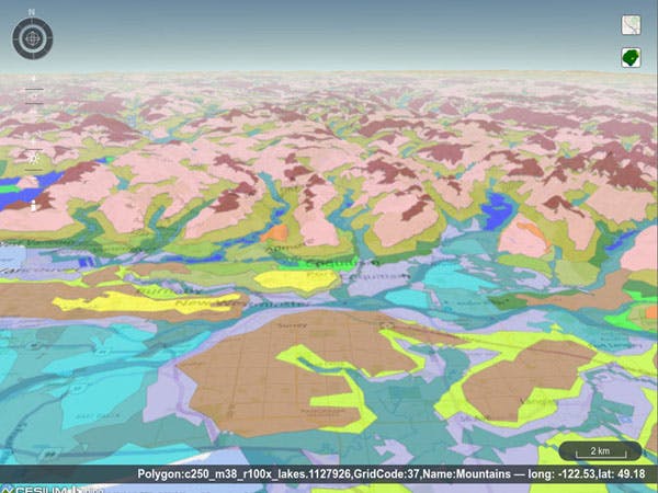
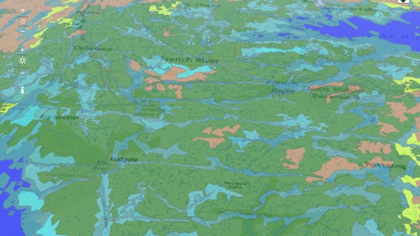
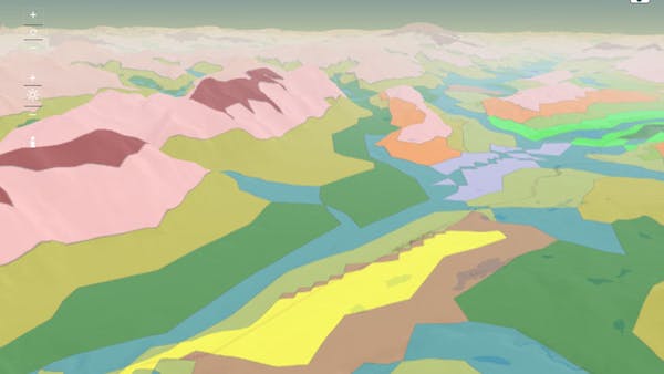
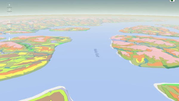
Polygon visualization is based on a Web Map Service (WMS) layer that is rendered from a shapefile using Geoserver 2.8.1. Since polygon rendering is time consuming, the WMS tiles are pre-rendered and cached. Polygon query uses a simple Web Feature Service (WFS) request to the same geoserver instance. Users can select from several different landform class maps to review and can also select from several different base maps, or underlay images, to act as reference layers.